
Photo gallery of Dashgil mud volcano - Azerbaijan
- by Martin Hovland
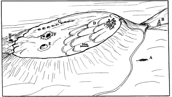
An oblique view of the Dashgil mud volcano(artist impression), from the north. The drawing shows the various characteristic features: A = natural oil pool; B = drilling derrick; C = cluster of cones (gryphons); D = clastic lobes; E = the elevated pool (salses); F = the level pool (salses); G = string of sinter mounds; H = drainage pool. From Hovland (1997).
|
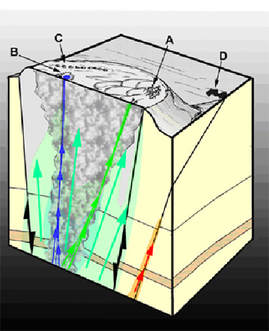
Unpublished conceptual block diagram of Dashgil mud volcano. In this image, 'A', is at the gryphons, caused by fresh water (condensation water) flow to surface. 'B' shows a 'salse', which is a brine pool, caused by salt water flow to surface (blue arrows). 'C' is a line of sinter cones, demonstrating that there has been fire on the mud volcano at one instance (forming burned clay - sinter). 'D' is a pool of crude oil, showing that oil is also transported within the mud volcano, but is diverted outside the main conduit some depth below ground. Drawn by Hovland, 2012.
|
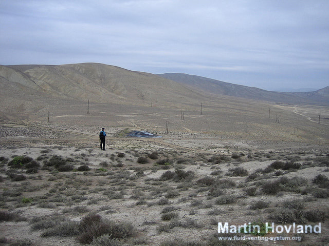
Surface oil pool adjacent to Dashgil mud volcano (‘A’ in artist drawing (1997) and ‘D’ in conceptual diagram (2012)).
The natural oil pool, at the foot of the Dashgil mud volcano (Location ’A’/’D’).
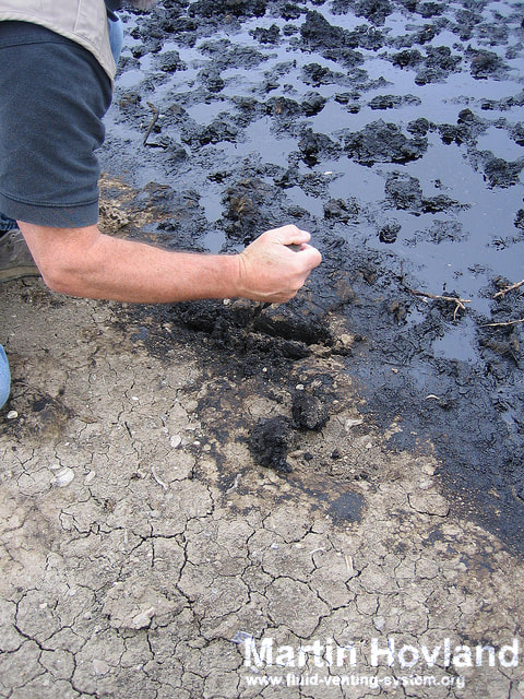
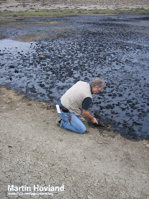
Close-up of the natural oil pool (‘A’/’D’) at Dashgil.
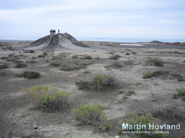
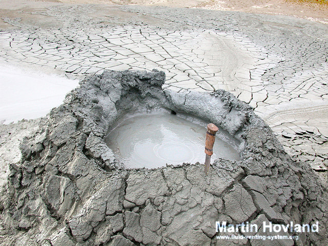
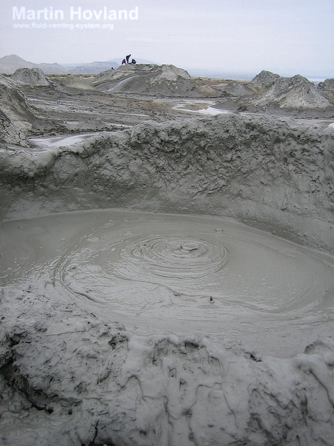
A large “bathtub” gryphon centrally on Dashgil mud volcano. (Seen as ‘E’ in the artist drawing, 1997).
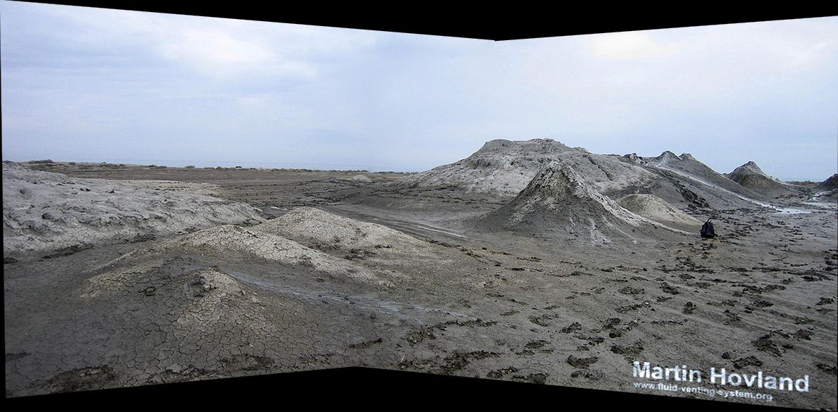
Gryphons of Dashgil mud volcano (location ‘C’ in 1997-image and ‘A’ in 2012-image).
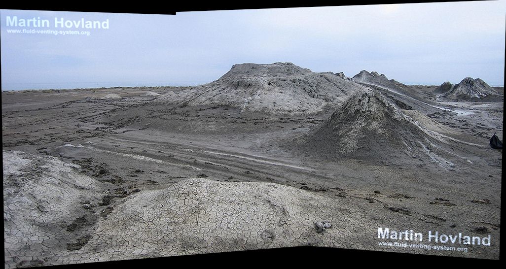
Same as previous (picture taken in 2002).
Mud cones on Dashgil (2002), location ‘C’/’A’.
Gryphon on Dashgil mud volcano south of Baku (from Hovland et al., 1997). Liquid mud, gas, and oil is tranported naturally from an unknown depth below ground to the surface. The gryphons are associated with pure (fresh) water, as salty water (brine) does not transport mud to surface. Photo by Boris, 1995.
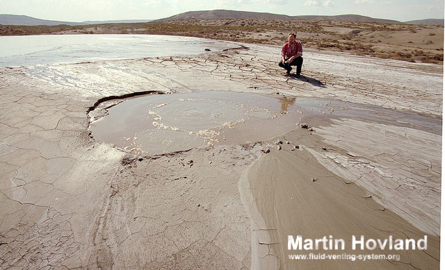
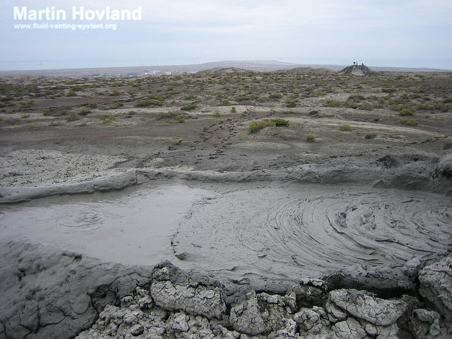
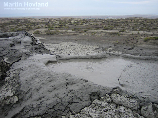
Large salse on Dashgil mud volcano (location ‘F’/’B’). Photo by Boris, 1995.
Same as above. The salse is surrounded by polygonal mud cracks and evaporite salt crystals. hoto by Boris, 1995.
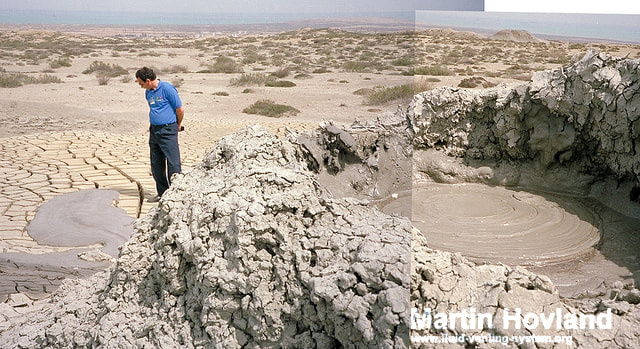
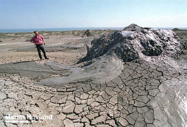
A gryphon and mud flow at, Dashgil (1995) (Zeluddin for scale).
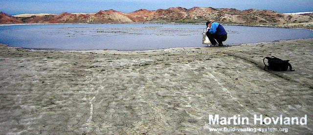
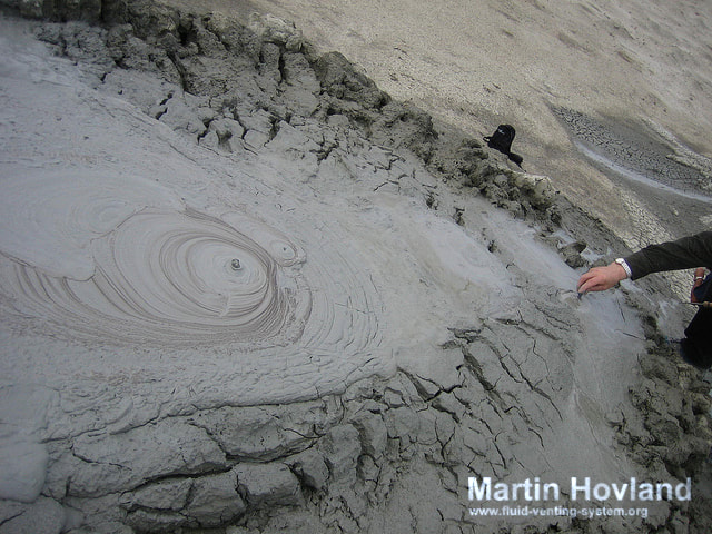
Håkon Rueslåtten taking samples at the salse on Dashgil (location ‘F’/’B’, 2002).
Gryphon on Dashgil (location ‘C’/’A’, 1995).
Same as above.
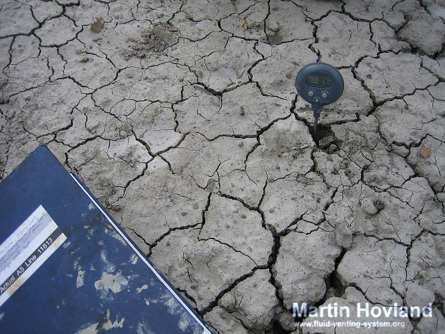
Measuring temperature of a dried-out mud mound, Dashgil.
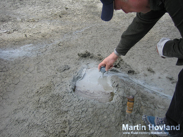
Measuring temperature of a small gryphon, Dashgil.
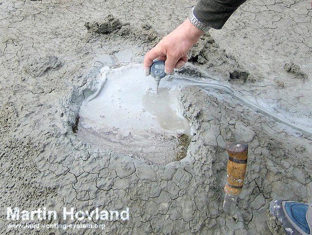
Close-up of previouos.
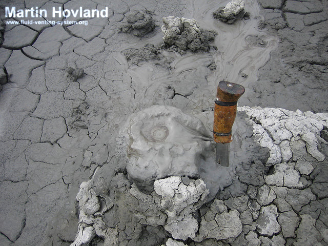
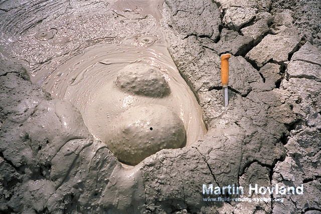
A tiny gryphon, Dashgil (2002).
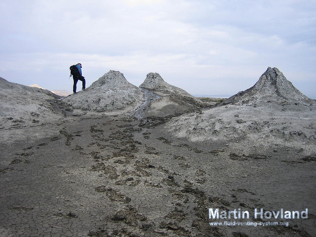
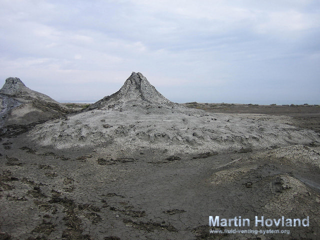
Group of gryphons, Dashgil (location ‘C’/’A’, 2002).
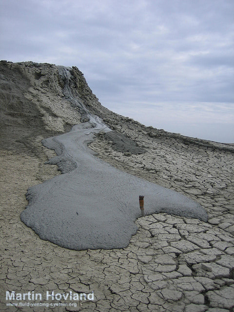
A gryphon with mud flow running down its side (2002).
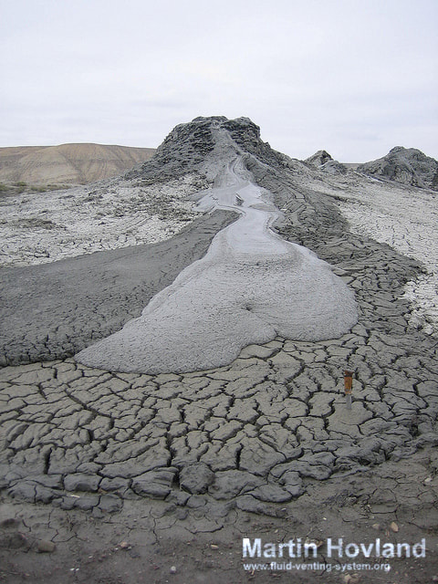
A gryphon with a new generation mud flow overlapping the old one (2002).
The top of a gryphon, Dashgil (location ‘F’/’A’, 2002).
A gryphon, Dashgil (photo from location ‘F’/’A’, 2002, with location ‘E’ in background) .
Gryphons, Dashgil (location ‘F’/’A’, 2002).
|
|
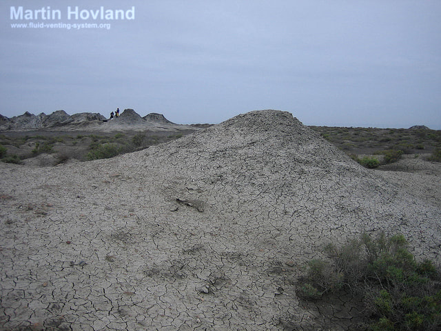
A dried-out mud cone in Dashgil (location ‘F’/’A’ seen in background, 2002).
Håkon Rueslåtten is observing a dried-out mud cone, at Dashgil.
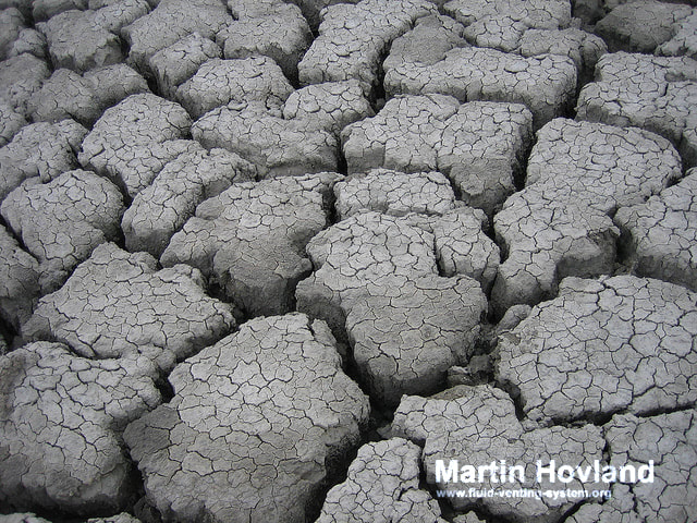
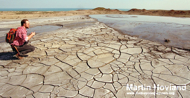
Mud cracks observed on Dashgil.